![]() 147 km
147 km
approx. 2hr.
Download self drive itinerary with map
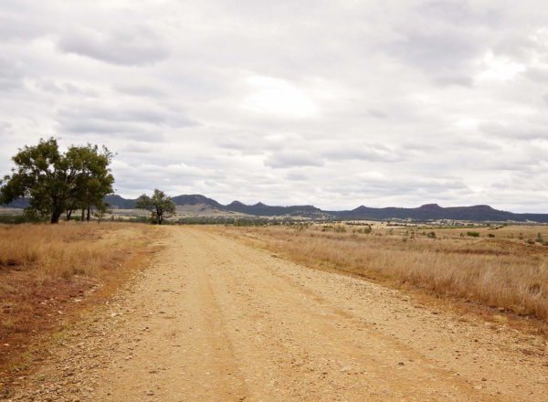
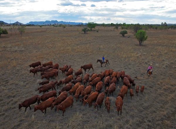
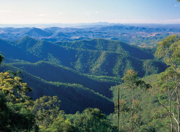
The past lives large on this trail with wonderful markers and reminders along the way that capture the region’s history from the earliest years of settlement through to today. Both surprising and fun, you’ll travel near Banana Shire’s largest cattle station, see one of Queensland’s oldest race courses, visit ghost towns and cross bridges steeped in war history.
Start at the Theodore Post Office on The Boulevard (GIS -24.946331, 150.075695).
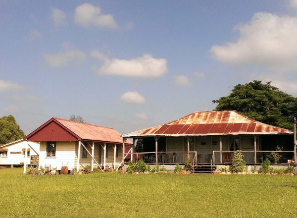
Camboon and historic bridges
- Travel north along Leichhardt Way for 6 km and turn right onto Castle Creek Road (GIS -24.896034, 150.087381).
- Drive 12.5 km until you reach a T-intersection. Turn right onto Defence Road (GIS -24.878486, 150.190305).
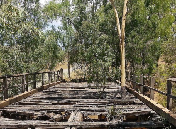
- Travel 30 km down the Defence Road, where along the way you will see four historic stone bridges. These bridges were built by hand in the 1940’s by Prisoners of War in mobile internment camps.
- Boam Creek Bridge (GIS -24.923844, 150.269123)
- Bridge 2 (GIS -25.295372, 150.302624)
- Bridge 3(GIS -25.020513, 150400093)
- Oxtrack Creek Bridge (GIS -25.036690, 150.413293)
- At the end of the 30 km run, turn left onto the Crowsdale-Camboon Road (GIS -25.045281, 150.421986) and drive 1.5 km to the junction.
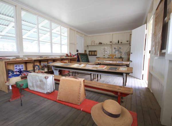
- Turn right at the ‘Hall’ sign (GIS -25.037281, 150.433256) and drive a further 2 km until you reach the Camboon Campdraft Grounds (GIS -25.051180, 150.444156). The old Camboon School of Arts Hall and bar are well worth a look.
Note: you will cross a grid and go through gates – please close the gates behind you
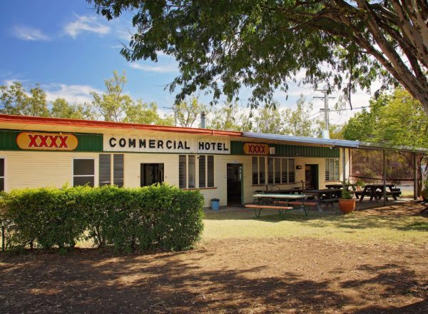
Cracow and Cracow Pub
- Head back to the Defence Road (GIS -25.045281, 150.421986)
- Turn left and continue south along the Defence Road for 33 km
- Turn right onto Eidsvold-Theodore Road (GIS -25.320671, 150.442104)
- Continue 13.25 km and turn left to the Cracow Cemetery (GIS -24.299299, 150.318336) – this is a must see
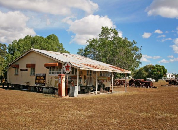
- Continue along Eidsvold-Theodore Road for 1.75 km to the Cracow Pub (GIS -25.295372, 150.302624). Previously owned by the legendary Fred Brophy; it is a hoot to visit and offers the chance to stop for a drink, have a chat with owners Nikki and Stu Burke, the locals and enjoy a pub meal. The pub allegedly has a resident ghost that haunts the hallways and on occasions has been spotted among the memorabilia that lines the pub walls.
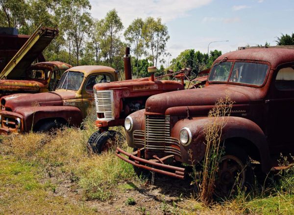
- Take a walk along the main street and delight at the abandoned buildings from yesteryear.
- Head up the hill past the pub to the Gold Mining Museum (GIS -24.294584, 150.301591) and feel the mining history of the town.
Theodore
- Continue along the Eidsvold-Theodore Road for 18.5 km and just over the bridge, turn left onto Isla Delusion Road (GIS -25.174455, 150.205900)
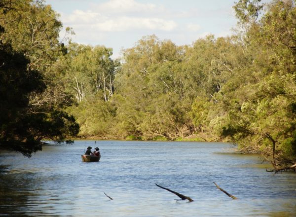
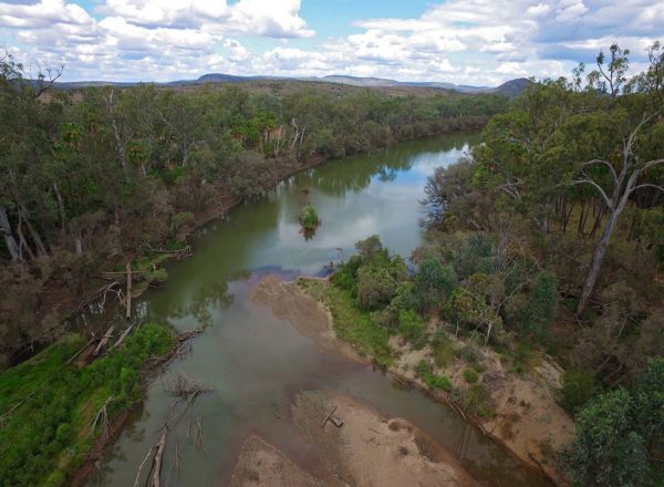
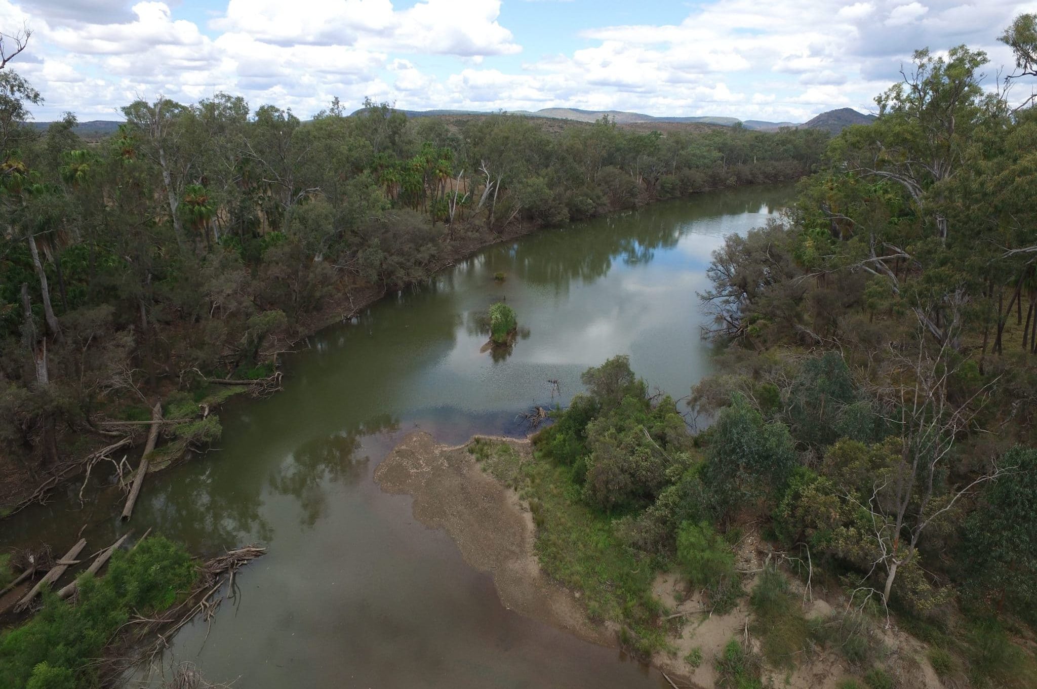
- About 1.9 km along turn left onto a track (GIS -25.177378, 150.188060) and follow it to the junction of Delusion Creek and the Dawson River (GIS -25.183716, 150.188514), (mark it in your diary as a future camping and fishing spot) – The track to Cracow Beach is black soil composite – good 4WD ok, NO caravans/campers in wet weather.
- Head back to the Eidsvold-Theodore Road and continue 41 km north-west and you’ll pass the Theodore Airport (GIS -24.994238, 150.095200) on your right.
- Continue a further 7 km to return to Theodore (GIS -24.946331, 150.075695).