![]() 76 km
76 km
approx. 1hr.
Download self drive itinerary with map
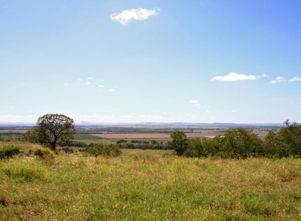
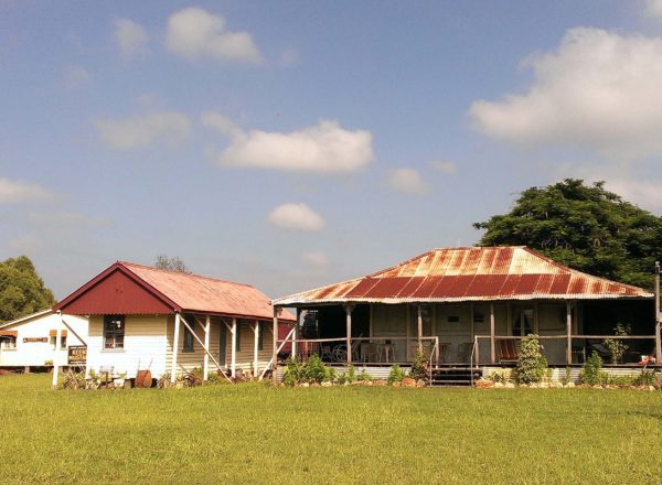
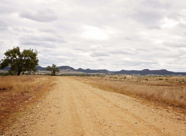
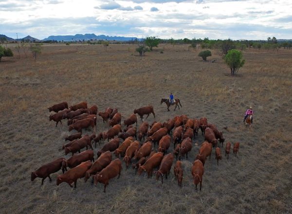
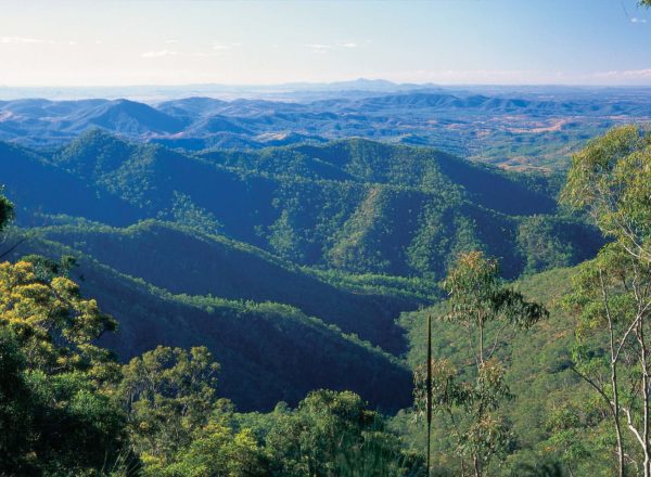
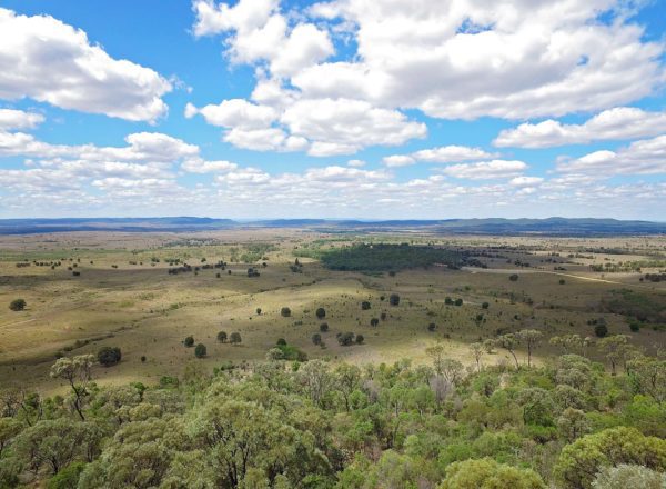
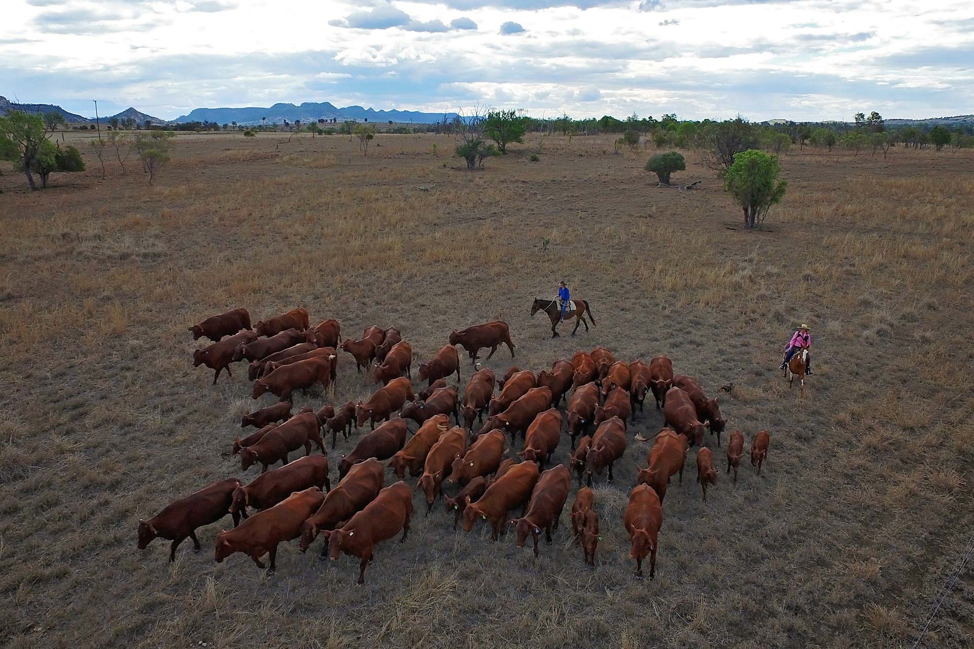
The stations that lie among the gorges, gullies, plains and ranges of Banana Shire’s rich cattle country stretch out from fence lines along the roadside or from higher ground, spanning across grand vistas as you peer on the valleys below. This is Queensland country.
From Theodore Post Office (GIS -24.946319 – 150.075764)
- Head south out of town turn left at Leichhardt Way (GIS -24.934543 – 150.077502) and cross the Dawson River.
- Travel 9 km towards Taroom and turn right at Glenmoral Roundstone Road (GIS -24.992712 – 150.041953).
- Continue along Glenmoral Roundstone Road for about 6 km. The views of Glenmoral Range and dam are amazing and definitely worth stopping for. Grab your camera while you’re at it.
- In 4 km the entrance to Glenmoral Gorge is marked by a grid. Cross the grid and turn right at Sawmill Road (GIS -24.975086 – 149.940861).
- Follow Sawmill Road for about 3.5 km and turn left at Beckers Road (GIS -24.942777, 149.965683). The views are spectacular and from this point you can get some fantastic photos over the gorge.
- Travel another 2 km where Beckers Road traces the boundary of Dawsonette Station on the left. You are travelling parallel to Glenmoral Range.
- Things are about to get hilly so be prepared for blind hills over the next 6 km.
Dawson Valley Views
- On your right you’ll find Cliffdale Station and after the next blind hill Burnside Station follows, also on the right. With gorgeous views over Dawson Valley continue travelling along Beckers Road.
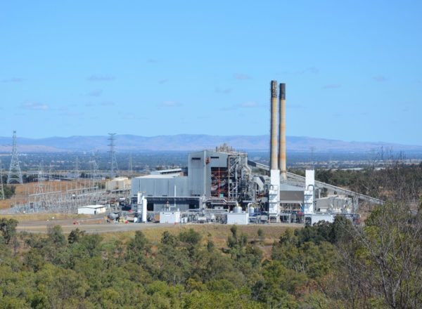
- About 3 km on you’ll strike Glen Robbie Station on right. From here you’ll also have views of Dawson Mine on the right.
- Continue for 6 km and Dianne Downs Station is on the left. This is a renowned Droughtmaster Cattle Stud. It’s worth noting the mobile phone coverage is good at this point.
- Follow the road and just on 4 km you’ll cross a grid. Soon after turn right at Burnside-McLennans Road (GIS -24.775739, 149.939155) and continue for another 4 km to Lyndamere Station on the left.
Nunn’s Crossing
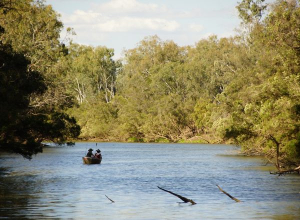
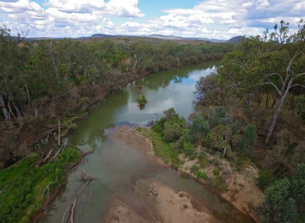
- A short distance will bring you to Nunns Crossing on the Dawson River (GIS -24.798392, 149.971971). With the calming sound of running water and surrounding forests of tea trees, this is an ideal place for a picnic lunch or afternoon tea break and quick dip if the weather is warm.
- Refreshed and back on the road you’ll pass a good stand of Bauhinia Trees before a sharp bend in the road.
- Continue on for about 2 km and note the Leucaena crop on right. Leucaena is a tree legume introduced from Mexico in the 1800’s to boost beef production. It is widely used as stock fodder and a substitute for hay.
- In reasonably quick succession, in about 2.5 km, the next stations include Woodleigh Station on the left (also note Dawson Mine) and then 2 kms further along Kucks Farm and then a short distance again and also on your left is Ulambie Station.
- At the Theodore-Moura Road junction (GIS -24.811723, 150.022110) continue straight ahead. Dawson Mine is to your left. Follow the road for almost 4 km, continue passed the old Lonesome Saleyards on the right and the turnoff to Malakoff Range (GIS -24.859502, 150.063856).
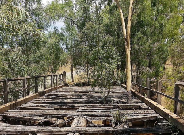
Lonesome Creek Bridge
- Continue straight ahead to Lonesome Creek Bridge (GIS -24.861040, 150.066523). This spot is beautiful when the summer warmth shrouds the surface with water lilies.
- A little more than 4 km on you’ll come to the Leichhardt Highway junction (GIS -24.883084, 150.093780). turn right to Theodore.
- You’ll travel by the old Dawson Park Race Track on the right and continue past the old Cheese Factory and Leichhardt Way which is also on your right.
- Arrive back at Theodore Post Office (GIS -24.946319 – 150.075764).