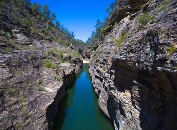
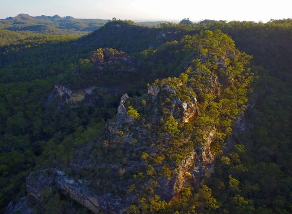
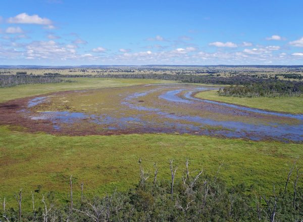
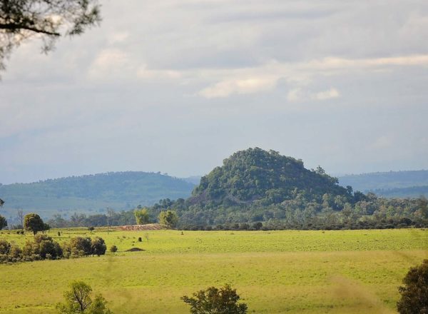
Sprawled across almost 28,000 km2, the immense and diverse landscapes of the Sandstone Wonders region are nothing short of awe-inspiring.
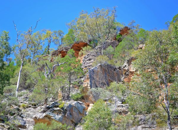
Bastions of a world before time, more than 25 mountain ranges make up the area and for its sheer size and scale, it’s known as ‘the roof of Queensland’. Gaping valleys and plains rise up to towering cliff tops, interrupted here and there by deep gorges, rocky outcrops and flowing, freshwater streams.
The National Parks and Reserves of the Sandstone Wonders
Duration: 1 minute
Several ranges fall within easy distance of townships that skirt the Dawson and Leichhardt highways, these include:
- Isla Gorge National Park
- Lake Murphy Conservation Park
- Expedition National Park
- Kroombit Tops National Park – NB access to the Bomber crash site, The Wall camping area & the Loop 4wd track in Kroombit Tops National Park is currently closed until 28/02/22, due to maintenance work and upgrades being undertaken in these locations
- Nathan Gorge
- Mount Scoria Conservation Park
Each park bears its own remarkable features and landmarks. The diversity of flora and fauna, even within a single park, is just as impressive as topographical conditions differ and change. You’ll want to see them all!
what do the locals say?
Visiting the Sandstone Wonders
Plan your visit
Being well-informed about where you’re heading is vital. There are lots of tips, travel directions, maps and helpful information to ensure your travels tick all the boxes and allow you to get the most out of each experience.
Planning to camp?
Camping experiences are readily available throughout the national parks in the region. Enjoy social camping areas with facilities provided through to secluded bush camping with nothing but nature for company. Remember to bring everything you need for your style of trip, including extra food, fuel and emergency supplies and communications.
Visit the camping page
Safety
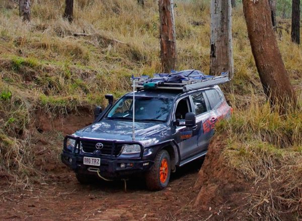
Many of the parks in the region are remote and have minimum services. You’ll need to be self-sufficient and plan ahead for any contingency. If you’re adventurous and well-prepared you can escape off-the-beaten-track and enjoy everything this ancient and rugged region offers.
- Plan your trip thoroughly. Calculate driving distances, plan your refuelling points and allow plenty of travelling time.
- Take reliable communication equipment such as a satellite phone or UHF radio. Bring detailed maps, GPS or other navigational devices.
- Visit npsr.qld.gov.au/park-alerts for up-to-date information on park access and closures before you set out.
- Weather conditions change fast, making roads impassable even when rainfalls are relatively low. Check weather reports regularly and if rain is on its way, head for safer ground. Visit the Bureau of Meteorology www.bom.gov.au for weather conditions and forecasts.
- Find out about road conditions by visiting www.131940.qld.gov.au or phoning 13 19 40. Shire council offices and Visitor Information Centres can also provide helpful local advice.
In parks, use your common sense when walking or hiking:
- stay a safe distance from cliff edges
- stick to designated walks that are comfortable for your fitness and level of experience
- tell someone where you are going and how long you should be – mobile coverage is severely limited
- always carry adequate drinking water
- wear protective clothing to protect yourself from the sun, stings, scratches and bites