Banana – a sentimental favourite
Click here to download pdf
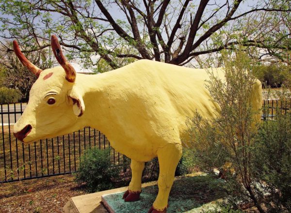
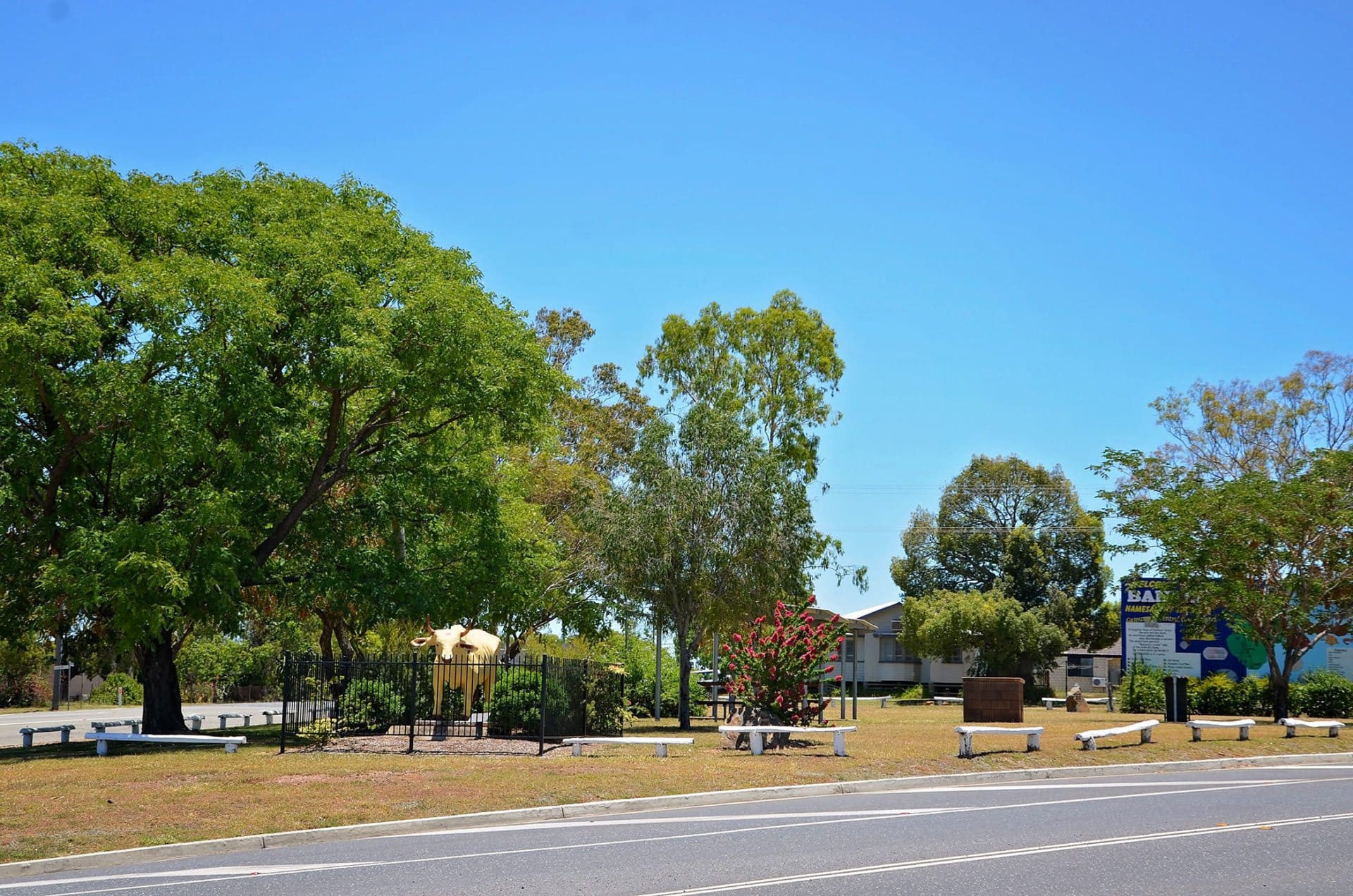
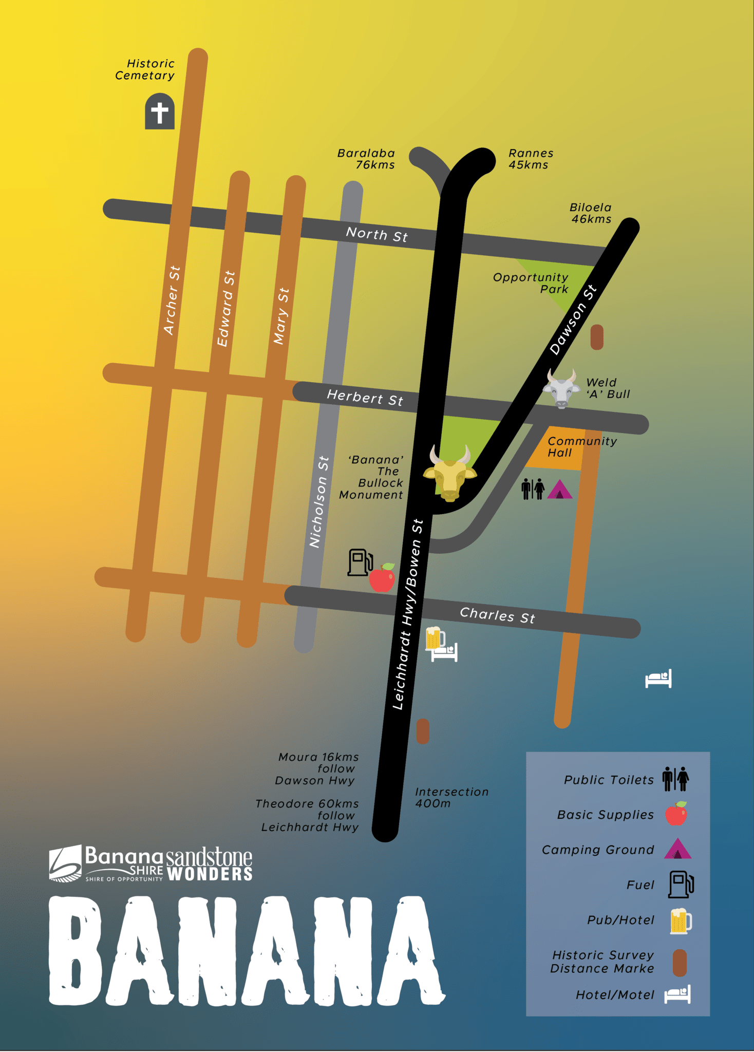
Visitors are always a little baffled by the town’s unusual name, particularly as there isn’t a single banana tree in sight. A dun-coloured bullock is responsible for that.
A favourite of local stockmen in the 1860’s, Banana the bullock, so named for his yellowish colouring, would help herd wild cattle into holding yards. When Banana died, the gully was given the name in honour of his feats.
A replica of Banana proudly stands in the town, a warm reminder of his legacy to those pioneering days.
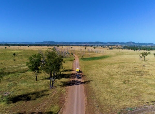
A key junction point between the Dawson and Leichhardt highways, from Banana travellers can reach all the wonders of the region in next to no time.
Watch the destination video
Time: 1 minute
Can I STAY at Banana?
The Banana Hotel Motel has a number of motel rooms available and there are several campsites on offer near Sutherland Hall, which do not require booking in advance.
To find more accommodation in Banana Shire, check out our Accommodation Guide.
Please contact a Visitor information centre or visit our camping page for low cost camping spots.
Is there Fishing around Banana?
- Callide Dam, near Biloela
- Neville Hewitt Weir, Baralaba
- Apex Park, Moura
- Best fishing locations in the Banana Shire
Close-by Attractions
- An historic cemetery stands on a hill behind the town; the tombstones bearing the names of the local pioneering families.
- Isla Gorge – Flagstaff Hill and 1860 hand-built Flagstaff Road
Close-by locationS
- Moura – 18 km (15 min) west via the Dawson Highway
- Biloela – 46 km (30 min) east via Dawson Hwy/State Route 60
- Goovigen – 64 km (44 min) north-east via A5 and Biloela Duaringa Rd
- Theodore – 59 km (41 min) south via A5 and Leichhardt Way
- Isla Gorge – 94 km (58 min) south via A5 and Leichhardt Way