![]() 672 km
672 km
Allow 4 days
Download self drive itinerary with map
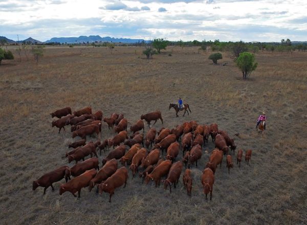
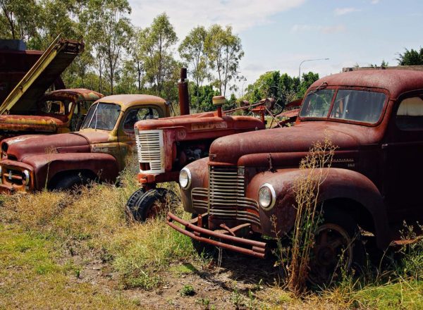
The Banana Shire is littered with Historical features and experiences for you to enjoy. From Museums and Homestead’s to Historical Villages and the Cracow Pub, you don’t want to miss a thing! Camping spots are available in all the overnight stay locations.
Day One – Wowan, Goovigen & Biloela (82km/1.5hrs)
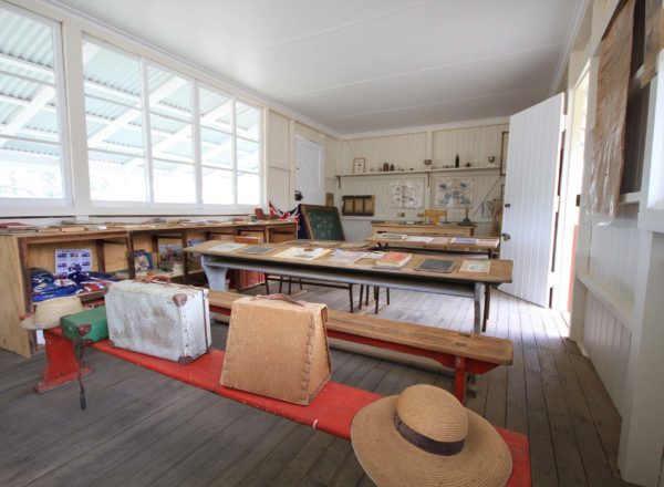
- Start at the Wowan Museum (GPS -23.909922, 150.195682). Open by appointment only, contact 07 4937 1082. Spend an hour or two looking through the old relics. There is a lot to see.
- Travel south along the Leichhardt Way approximately 24 km and turn left onto Goovigen-Rannes Road
(GPS -24.106287, 150.118327). Follow Goovigen-Rannes Road 19 km and you will arrive at the Percy Schluter Memorial School of Arts Hall and Engel Homestead, on the outskirts of Goovigen
(GPS -24.143988, 150.286513). Open by appointment only, phone ahead and speak to Gwen on (07) 4996 5146, or pop into the house next to the Church. - Continue 150 m and turn right onto Stanley Street and left onto Goovigen Jambin Road (just after the pub) (GPS -24.146874, 150.285811). Continue 10 km and via left at the intersection with Mercers Road
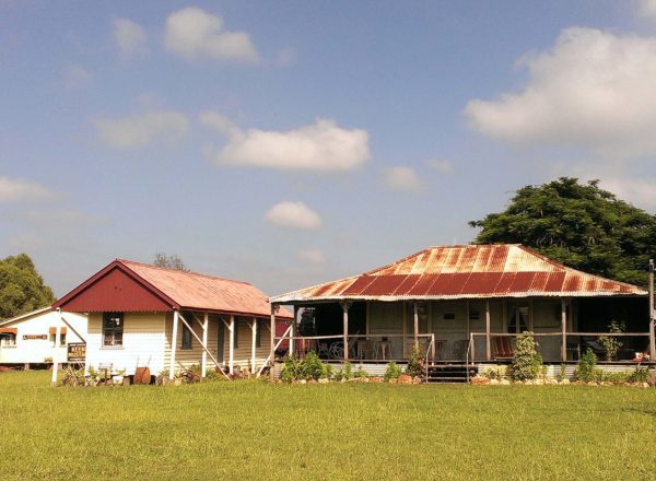
(GPS -24.198820, 150.365403). Approximately 1 km further you will meet the Burnett Highway. Turn right and continue to Biloela. - As soon as you arrive in Biloela, turn left onto Exhibition Avenue (GPS -24.405953, 150.502103) and 200 m along you will arrive at the Qld Heritage Park on your left (GPS -24.404270, 150.501000). There are a few historical points of interest to see while in Biloela. These include the Spirit of the Land Mural, Qld Heritage Park and Greycliffe Homestead.
• Qld Heritage Park is open from 9.00am-4.00pm daily
• Spirit of the Land Mural on State Farm Road is accessible 24/7 (GPS -24.394484, 150.517222)
• Greycliffe Homestead is open by appointment only and located at 48 Gladstone Road
(GPS -24.396112, 150.519589) Phone (07)4992 1862
Day Two – Baralaba, Moura & Theodore (200km/2.5hrs)
- From Biloela, travel west along the Dawson Highway to Banana (GPS-24.471436, 150.128313).
- Turn right when you meet the Leichhardt Way. Follow for 500 m before heading left onto the Baralaba-Banana Road. Continue 48 km until you reach an intersection with Baralaba-Rannes Road and turn left
(GPS -24.466685, 150.128783). - Follow into Baralaba and turn right onto Wooroonah St (GPS -24.184998, 149.812048). Follow to the
historical village. (GPS -24.179470, 149.814334) The Historical Village opens by appointment only so you will need to book ahead. Phone (07) 49981163 or (07) 4998 1351. - Follow Wooroonah St around to Mimosa St (GPS -24.179697, 149.815654) and then left onto Baralaba-Rannes Road (GPS -24.182575, 149.814388). Follow 1.5 km and turn right onto the Moura-Baralaba Rd (GPS -24.187191, 149.827452).
- Continue to follow Moura-Baralaba Rd turning right after 14 km (GPS -24.285509.149.897030) and left a further 3.7 km along (GPS -24.318926, 149.897637). Follow 30 km to Dawson Highway.
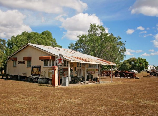
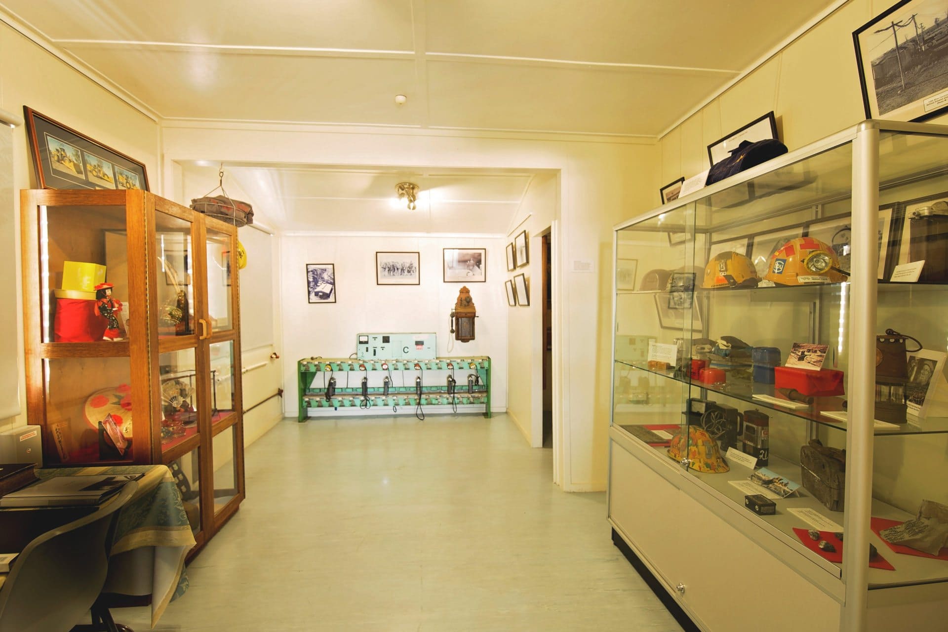
- Turn right onto Dawson Highway (GPS -24.536306, 150.015748) and head to Moura. Turn left into Gillespie Street as you enter the Moura CBD and the Moura Coal and Country Museum will be on your left (GPS -24.567300, 149.975185). The Mining Museum is open from 9.00am-2.00pm, Saturdays only from May through until October.
- From here follow Gillespie St to the end and turn left over the old railway line and then right onto the Theodore-Moura Road (GPS -24.576121, 149.984480). Turn right and follow approximately 40 km until you reach the Leichhardt Way.
- Turn right onto the highway and follow into Theodore. Upon arriving in Theodore, follow ‘The Boulevard’ through town and turn right at Second Avenue. Follow to the end and turn right again. On your left you will find the Dawson Folk Museum, housed in an old power house (GPS -24.950794, 150.074376). The Museum is open Tuesdays and Wednesdays from 10.00am – 12.00 noon.
Day Three – Taroom & Cracow (184km/3hrs)
- Head north along The Boulevard out of town and turn left onto the Leichhardt Way
(GPS -24.934493, 150.077439). Follow 94 km to Taroom. Continue to follow the highway veering left and then right into Yaldwyn Street. On the right you will see the Leichhardt Tree (GPS -25.641268, 149.795628). Stop and take a closer look and listen to the story of Ludwig Leichhardt. - Continue up to the intersection with Kelman St and turn left into Kelman St. The Taroom Museum is located approximately 100 m up the road on the left (GPS -25.640139, 149.795768). The Museum opens by appointment. Contact the Taroom District Historical Society on 0409 663 701 to arrange access.
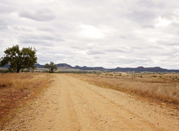
- From Taroom, follow the Cracow Rd/Nathan Gorge Road (GPS -25.638636, 149.804952) (caution – dirt road) approximately 88 km to Cracow. Turn right onto Fourteenth Avenue (GPS -25.299523, 150.301699) and left onto Eidsvold-Theodore Road.
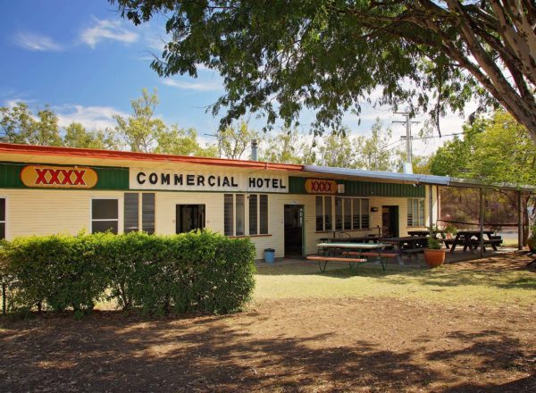
- Follow the road to the Cracow Pub (GPS -25.295469, 150.302655). The pub is legendary and owned by Fred Brophy; it is a hoot to visit and offers the chance to stop for a drink, have a chat with the locals and, if the kitchen is open, enjoy a pub meal. The pub has a resident ghost that haunts the hallways and on occasions has been spotted among the memorabilia that lines the pub walls. Take a walk along the main street and delight at the abandoned buildings from yesteryear.
- Continue along Third Avenue up the hill to the Cracow Mining Museum (GPS -24.294584, 150.301591).
The Museum is open most days, no appointment required. It is also located right next door to the town
camping area, a great spot to pull up and rest for the night.
Day Four – Camboon & Biloela (206km/2.5hrs)
- Head east out of Cracow on the Eidsvold-Theodore Road towards Eidsvold. Turn left onto Defence Road at approximately 15 km (GPS -25.320671, 150.442104).
- Travel 33 km along the Defence Road and you will come to a sign pointing right for ‘Camboon’. Turn right onto this road, ‘Camboon Crowsdale Road’ (GPS -25.045281, 150.421986) and drive 1.5 km to the junction.
- Turn right at the ‘Hall’ sign (GPS -25.037281, 150.433256) and drive a further 2 km until you reach the Camboon Campdraft Grounds (GPS -25.051180, 150.444156). The old Camboon School of Arts Hall and bar are well worth a look.
- If travelling in October, you may be lucky enough to catch the Camboon Campdraft. At other times of the year they hold dog trials and other minor events, which are always worth a look. Regardless, this is the perfect place to get your billy or thermos out and enjoy a cuppa.
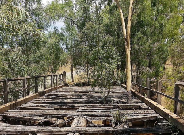
Note: you will cross a grid and go through gates – please close the gates behind you. - Head back to the Defence Road (GPS -25.045281, 150.421986). Turn right and continue north along the Defence Road for 36 km until you reach the Leichhardt Way. Along the way, ensure you stop and check out the 4 historic stone bridges. These bridges were built by hand in the 1940’s by Prisoners of War in mobile internment camps.
• Oxtrack Creek Bridge (GPS -25.036690, 150.413293)
• Bridge 3(GPS -25.020513, 150400093)
• Bridge 2 (GPS -25.295372, 150.302624)
• Boam Creek Bridge (GPS -24.923844, 150.269123) - Turn right onto Leichhardt Way (GPS -24.830738, 150.168235). Follow the highway approximately 85 km back to Biloela via Banana.