![]() 81 km
81 km
approx. 1hr.
Download self drive itinerary with map
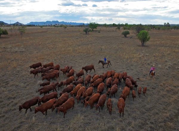
The Isla Delusion trail takes you to the magnificent heights and sights of the Sandstone Wonders, then plunges you into the heart of the river country, where palm forests line the banks of Dawson River, as they have done for millions of years.
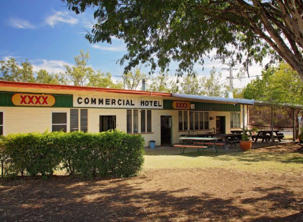
Start at Theodore Post Office (GIS -24.946319 – 150.075764)
- Head out of town and turn left onto the Leichhardt Way (GIS -24.934543 – 150.077502).
- Cross over the Dawson River and continue along the highway for about 10 km, where you’ll see Mount O’Kanagal on the left – off in the distance. Get the camera out because on a clear day, the mountain looks amazing.
- Continue on for another 9 km and Isla Gorge lies directly ahead.
- You’ll pass the Isla Delusion Road on the left (GIS -25.118492, 150.065554) – take note because you’ll be coming back to it after taking in the sights of Isla Gorge.
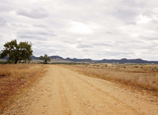
- Continue along the Leichhardt Way for about 11 km. You’ll notice that you’re travelling along the edge of the Isla Gorge National Park.
- Continue on and prepare to SLOW DOWN.
- Turn right at the Isla Gorge Lookout (GIS -25.199750, 149.976501) proceed 1.3 km to the lookout (GIS -25.190937, 149.972368).
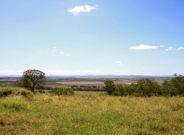
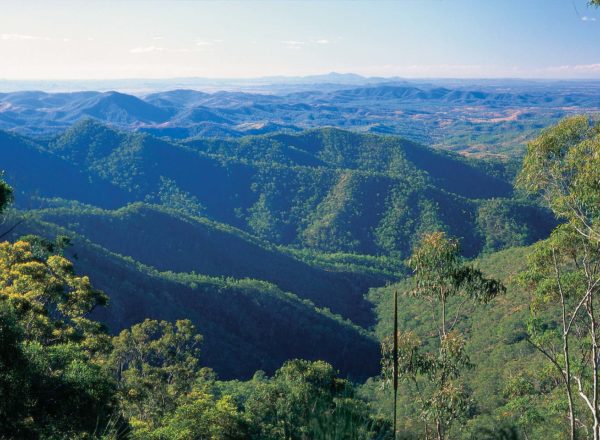
IsLa Gorge Picnic Area and Lookout
The facilities are ideal for a relaxing picnic lunch and it’s only a short and easy 100 m walk to the Gorge lookout. From the platform you take in sweeping views of the valley, which is characteristically peppered with the rugged ranges and steep plateaus of the Sandstone Wonders. Take photos and take your time to enjoy being on the ‘roof of Queensland’.
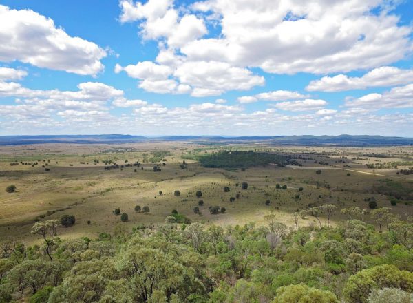
River Country
- Return to Leichhardt Way and turn left (GIS -25.199522, 149.976578).
- Travel 13 km and turn right (GIS -25.118492, 150.065554) onto the Isla-Delusion Road.
- 4.7 km along the road you’ll see Dukes Plains Rd on the right; continue on for another 7 km and you enter the river country.
- Drive carefully. You’ll come to a sharp bend in the left (GIS -25.182104, 150.183579). Do not enter Birchley’s Road on the right as it is a dead end.
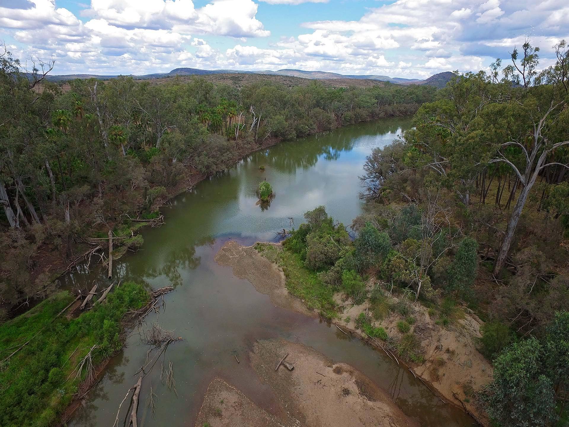
Cracow Beach
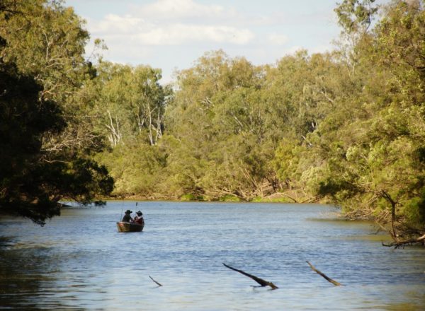
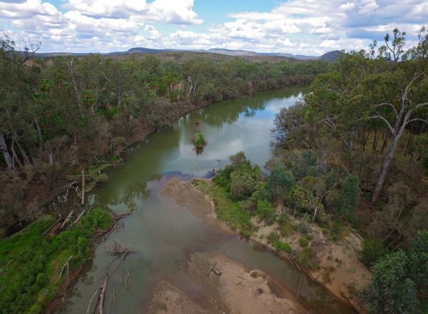
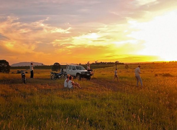
- Continue on for a short distance once through the river crossing and SLOW DOWN so you don’t miss the Cracow Beach dirt turnoff on the right. This road is a black soil composite and suitable for caravans or campers ONLY in dry weather. Good 4WD are ok in light wet. (GIS -25.177070, 150.188449). This turnoff is not signed but leads to one of the region’s great fishing spots and camping areas, where Livistona Palms cluster along the river bank and Yellow Palm Dart butterflies seem to magically appear from the thickets as water monitors cruise the river surface in search of a feed (GIS -25.183735, 150.188404).
- Head back to Isla Delusion Road and continue along to Eidsvold-Theodore Road.
- Travel across the grid and turn left to Theodore (GIS -25.174382, 150.205879).
- As you travel, about 6 km ahead on the left you’ll see a lone palm standing tall in a paddock. This palm marks the 1956 the flood level.
- A further 6 km along will reveal Mount Ox to the right and to the left, fabulous views of the mountain ranges and Dawson River.
- Travel 13 km and close to Theodore, you’ll notice the black soil river flats, so common to the area. The black soil was favoured by the many Russian immigrants who moved to the region following WWII, as it reminded them of the farmlands they had left behind.
- Continue on for another 4 km back to Theodore Post Office.