![]() 150 km loop
150 km loop
approx. 2hr.
Download self drive itinerary with map
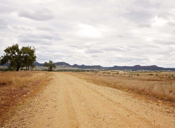
Dry weather only road
Not suitable for caravans
Drive carefully, dirt road
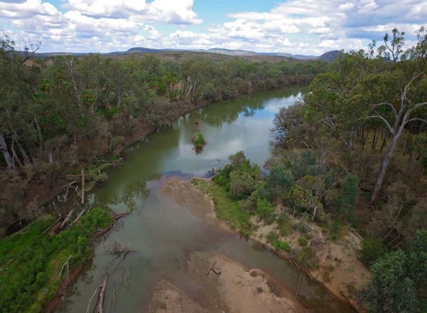
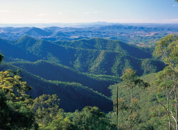
The Sandstone Wonders are exciting discoveries in the waiting for those who love to get outdoors and into the wild. Vast areas of high ranges, deep gullies and wide, meandering valleys are filled with untamed beauty and places to explore. Flora and fauna abound. Spot spiny-cheeked, brown, white-eared and blue-faced honeyeaters when the eucalypts, wattles, grevilleas and boronias are in flower from mid-winter to summer. Wedge-tailed eagles soar high above the gorges and peregrine falcons leave secluded roosts on cliff faces to hunt.
The Historic Flagstaff Road Trail leads you to a site of epic proportions. The hand laid Flagstone Road was built in the early 1860’s, using large rock slabs and only a small gang of men. Used to carry wool from Roma to the port of Rockhampton, the road helped to build Queensland and the nation. The drain systems still carry storm water and prevent erosion to this day.
Start in THEODORE
The roads along this drive trail are loose surface and include some gradient near the Flagstaff Section of Isla Gorge National Park.
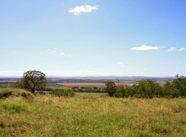
If you’re a 4WD enthusiast expect some serious WOW moments! You’ll love this path less travelled with its spectacular panoramic views over the Isla Gorge and of Isla Range.
Start from Theodore.
- Drive south along the Leichhardt Way towards Taroom (GIS -24.934460, 150.077560).
- Continue about 8 km and turn right onto Glenmoral Roundstone Road (GIS -24.992731, 150.042003).
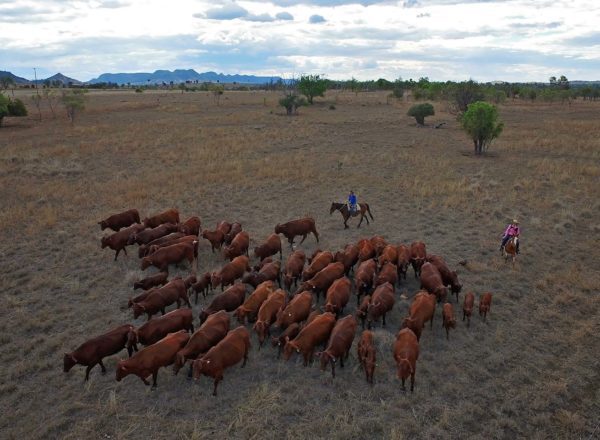
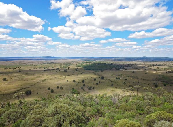
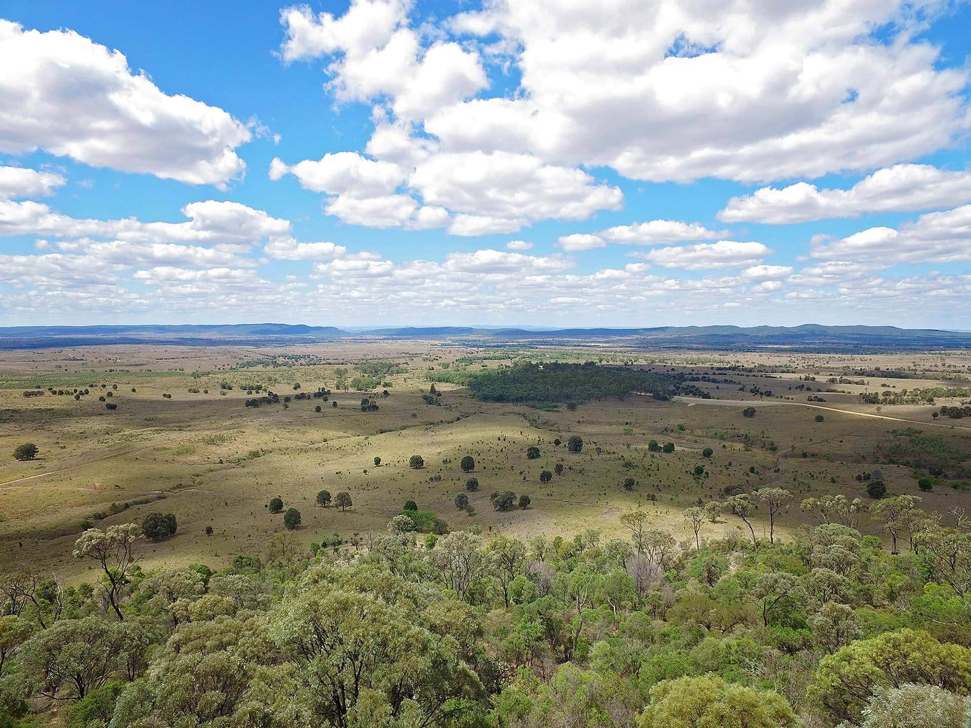
- Travel through the Glenmoral Range (GIS -24.975347, 149.940180), picturesque grazing, state forest and national park country, with great panoramic views.
- About 13 km along, turn left at Glenbar Road (GIS -24.982258, 149.918148).
- Drive 4 km and turn right onto Flagstaff Rd (GIS -25.012569, 149.907269). Prepare to stop for some fabulous photo opportunities of Isla Range (GIS -25.057900, 149.858304).
- On approaching the top of the range (9 km), slow down or you will miss the turn off to the Historic Flagged Road.
- Cross the grid (GIS -25.068749, 149.851607) into the ‘Isla Gorge Reserve’ and immediately turn right (over another grid) (GIS -25.068757, 149.851431) to enter the carpark area, which is a short distance of 1.6 km. Grab your camera and wander the 200 m from the carpark to the historic flagged road.
- Take the time to read the tremendous feat of the men who built the road and how it still serves to prevent soil erosion to this day. Also check out the lookout for spectacular views of the valley and ranges.
- This is a good spot to have a picnic.
- Return to Flagstaff Road and turn right (GIS -25.068786, 149.851444).
- Follow for about 47 km (stay on the Flagstaff-Waterton Rd) until you reach the Leichhardt Way (GIS -25.416333, 149.852421).
- Turn left onto Leichhardt Way and head to the Isla Gorge lookout to take in the spectacular sandstone formations.
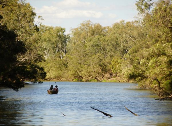
- Head back to the Leichhardt Way, turn right and head to Taroom, taking in Chain Lagoons if you have time, or straight to Taroom for an overnighter and relish in the early history of the town.
- OR, Turn left and head back to Theodore.