The rich Dawson and Callide Valleys straddle the Banana Shire, bringing together a deep history of life on the land.
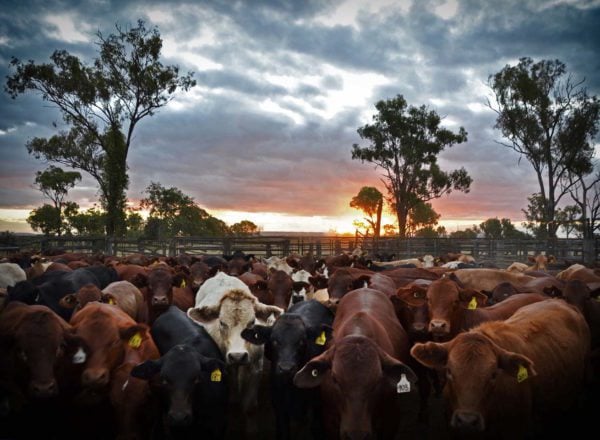
Opened up in the mid-1840’s by explorer Dr Ludwig Leichhardt, dairy and cattle pastoral settlements took hold in the early 1850’s. In their wake, bloody skirmishes broke out between the pastoralists and local Indigenous clans, the losses great on both sides.
Gold fever came and went on quite a few occasions and the population lifted and fell depending on the finds. Gold mining finally took hold at Cracow in the 1930’s and is still operating today, along with coal holdings at Baralaba (since 1916), Moura (since 1960’s) and Biloela / Callide (since 1970’s).
The railway moved in from Gladstone to Theodore and Biloela after 1920 and more lines were added in the prosperous years of the 1960’s.
In 1905, the mooted Dawson River Irrigation Scheme gathered steam. Water harvesting to support ever expanding farming and mining industries spawned several dam projects, particularly during the mid-20th Century. The Callide Dam opened in 1965, Glebe Weir in 1971 and Neville Hewitt Weir in 1976.
More rail lines were added in the 1960’s for coal transportation.
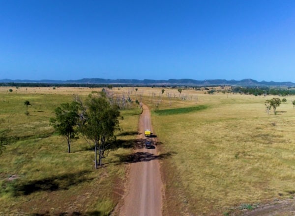
Today, Banana Shire covers an area of 28,577 km2, with a current population of about 14,319 (2016 Census). Biloela, with the largest population is the district home, whilst Moura is the next in line. A short way south of Biloela is Thangool, which has the geologically rare Mount Scoria.
Typical of country Queensland, the Shire has seen its fair share of floods and droughts. However, the community remains strong, prosperous and growing despite these setbacks and is writing the next chapter in the Shire’s history book.
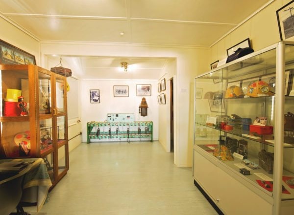
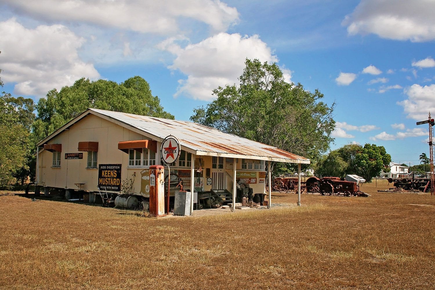
Where can I see and learn more about Banana Shire’s heritage?
Baralaba
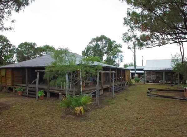
- Baralaba Historical Village
- Explore Baralaba
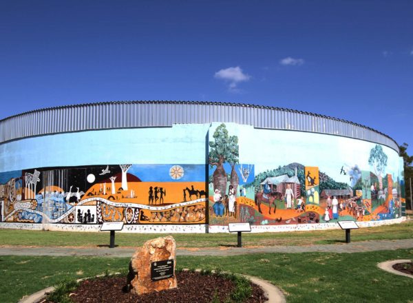
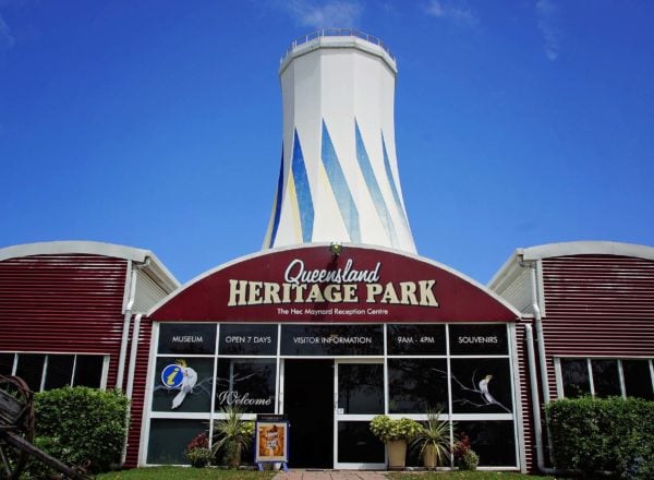
Biloela
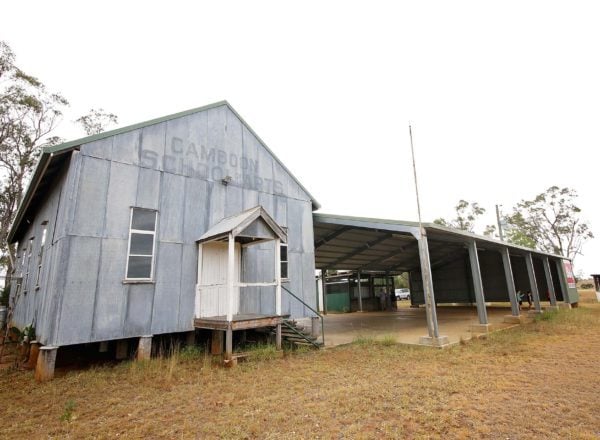
Goovigen
- Percy Schluter Historical School of Arts Hall
- Explore Goovigen
Moura
Taroom
- Taroom Museum
- Leichhardt Memorial
- Explore Taroom
Theodore
- Dawson Folk Museum
- Explore Theodore
Wowan
- Wowan Museum
- Explore Wowan