![]() 131 km
131 km
approx. 2.5 hrs
Download itinerary & map
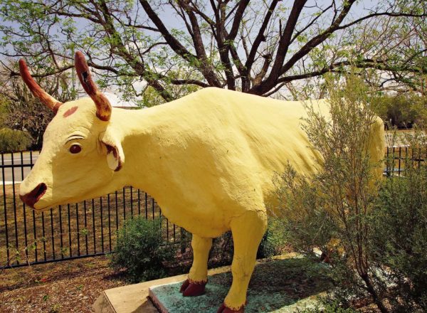
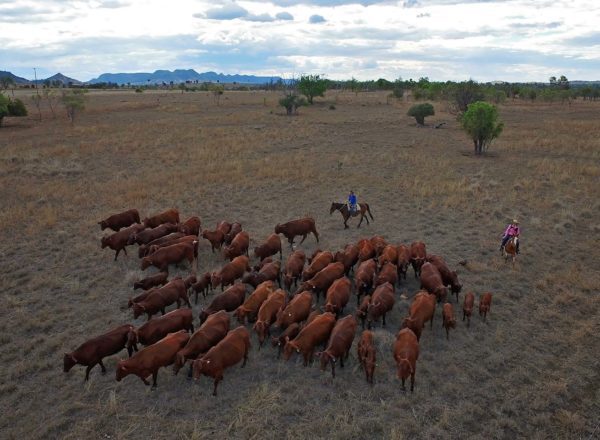
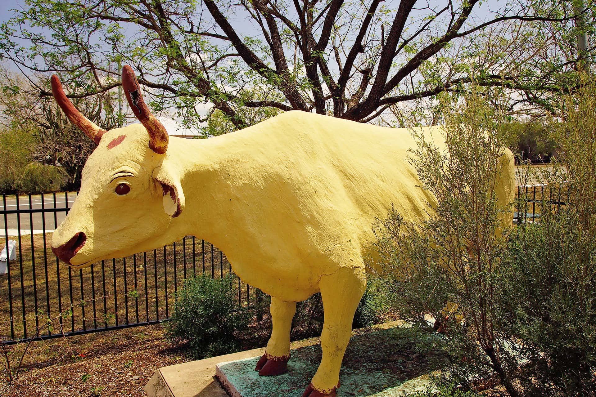
The story of Dawson Valley and its industrial wealth and heritage begins from the region’s sentimental heartland of Banana and its famous dun coloured bullock. This is an epic story of the rise and rise of coal. About the hard work and sacrifice that not only continues to shape the life of the region, but also forged the way for Australia’s fledgling coal export industry, a legacy that remains to this day, a cornerstone in the nation’s economic mix.
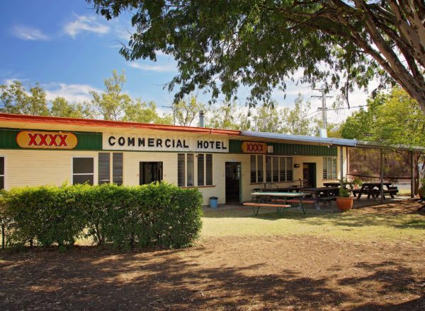
Your journey begins in Banana
- In ‘Banana’, you’ll start at the bullock statue, after which the town was named.
- From the statue, follow the highway towards Moura and travel 13.6 km, past the turnoff to Theodore.
Dawson Mine and Nitrate Plant
- You’ll pass Dawson Mine. The mine began production in the 1960’s and was the first Australian coal mine to export coal to Japan in 1961. It is also the mine that pioneered the use of drag lines in open cut coal mining in 1963. In 1996 it became the first mine in Australia to extract methane gas on a commercial basis.
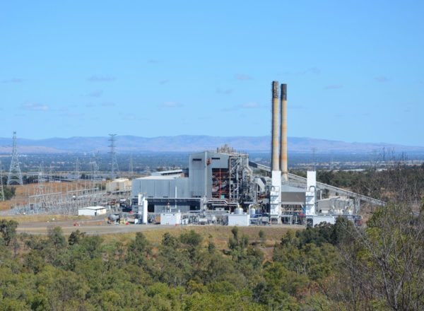
- From Dawson Highway, turn left onto Three Chain Road and follow the road for 400 m. This will take you to the Queensland Ammonium Nitrate Plant. Vital supplies for ammonium nitrate prill are produced at the plant and used by mines in the Bowen Basin for blasting.
150° Meridian
- Back on the Dawson Highway, travel 2.4 km further and you’ll come across the 150° meridian site – 150° of longitude from which Eastern Standard Time is measured. Peer through the holes in the rocks and you are in in the direct line of the meridian. The holes in the rocks are the result of mine blasting and you may spot similar rocks about the place on your travels.
- Head a further 3 km along Dawson Highway to Moura.
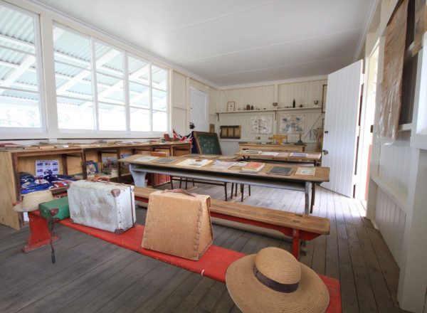
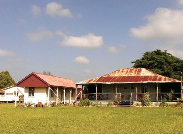
- Turn left onto Gillespie Street and 500 m down on the right is the Moura Visitor Information Centre and Shire Office.
- From Gillespie St, turn left onto Herzog St and left again onto Theodore Moura Rd. The Grain Silos and large sheds 2.5 km along on your right have the 2nd largest grain storage capacity in Queensland.
- Continue a further 470 m along to the Dawson Highway and turn left..
- On your right 1 km along the highway, you’ll see a Miner’s Statue located in the medium strip. The memorial honours the lives lost in the No.4 underground mine disaster of 1986.
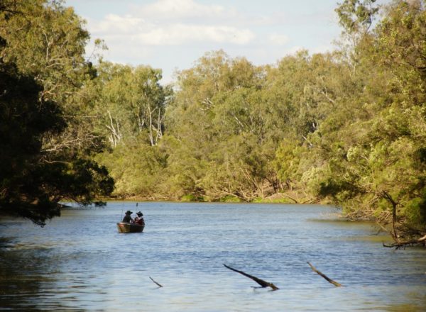
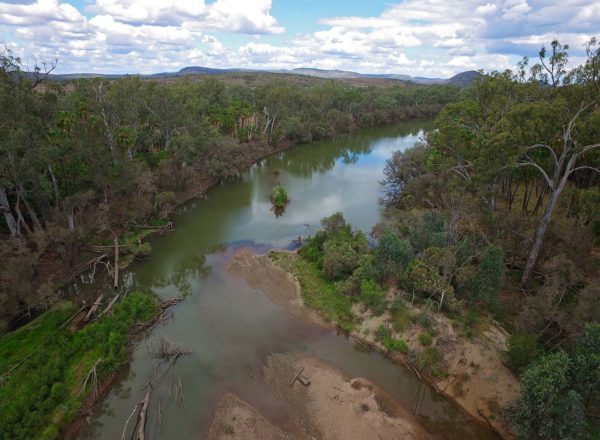
Apex Park on the Dawson River
- A further 7.5 km down the Dawson Highway is Apex River Park, on the Dawson River. The park is a hub for the community and a focal point for annual events such as the Coal and Country Festival, Muddy Water Family Fishing Classic and Dawson River Festival. For those who are after free camping facilities, the park has plenty of sites, a boat ramp and amenities.
- Turn back towards Moura and head along the highway 2.3 km and turn right onto Saxelby’s Road.
- Follow to the end of the road and turn left onto River Road.
- Continue along River Road to its end (about 8 km) and it will take you around the Moura Aerodrome where you then cross the Theodore Moura Road.
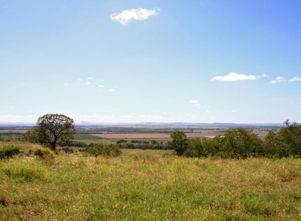
- Turn right onto Theodore Moura Roadand follow 36 km to the Leichhardt Way. Turn left onto the Leichhardt Way and follow approximately 43 km and you will see Mount Wiseman on your left, named after William Wiseman, an early Land Commissioner who is credited with naming Rockhampton in 1858.
- Continue another 8 km along the Leichhardt Way and turn right onto the Dawson Highway towards Banana.