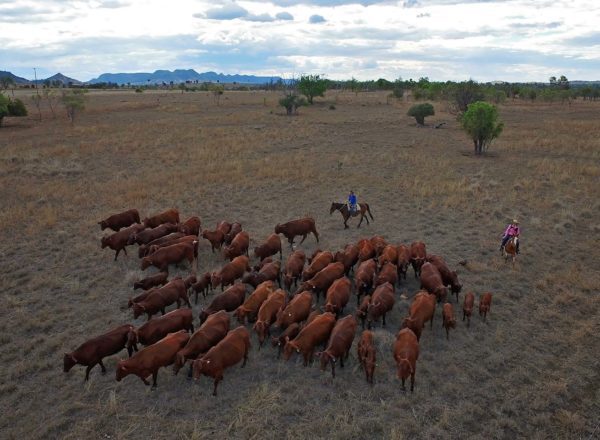
![]() 86 km (option of extra 213 km)
86 km (option of extra 213 km)
approx. 2hr. (option of additional 8hr)
Download self drive itinerary with map
Thangool to Mount Scoria
6.5 km (8 mins)
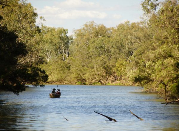
Known as the ‘Musical Mountain’, the rocks found at Mount Scoria are uniquely formed, multisided pillars, naturally formed from the cooling effects of an ancient volcano. The rocks resonate when they are struck, making a humming sound.
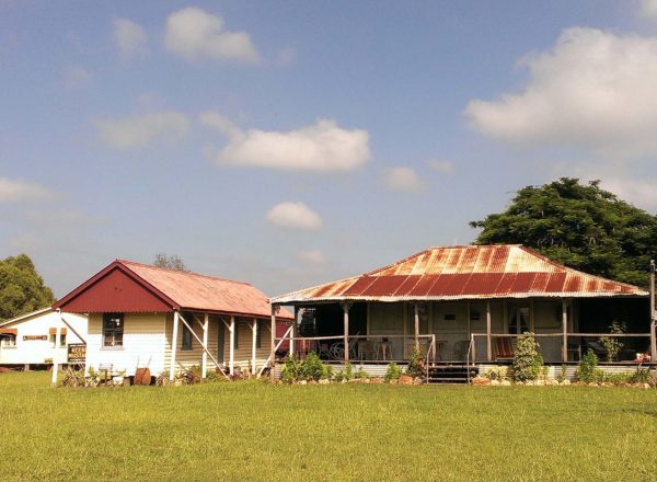
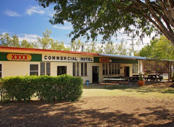
- Start at Hotel Thangool in Ramsay St, opposite the BP Service Station.
- Turn left into Winston Street and drive 1.5 km. Be careful crossing the narrow one-way bridge just before the race track.
- Turn left onto Thangool-Lookerbie Road and follow for about 5 km.
- After you cross Grevillea Creek, turn right into Mount Scoria.
- Take a short cultural interpretative walk along the track at the base of the mountain and discover its significance to the Gangulu people. Have a picnic lunch at the grounds, while you spot native birds and animals in the surrounding bushland.
Mount Scoria to Kroombit Tops
45 km (40 mins)
- From Mount Scoria, head back the way you came to Thangool (note: Winston Street is called Aerodrome Rd when turning right off Thangool-Lookerbie Road to cross over the narrow bridge).
- Once you reach the BP Service station (on your left), turn left onto Burnett Highway and drive for 7.2 km towards Biloela.
- Just after crossing Kroombit Creek, turn right onto VanItallies Road.
- Travel 1.4 km and turn right onto Valentine Plains Road.
- Approximately 11 km along the road, you’ll pass over a grid and the road surface changes to gravel.
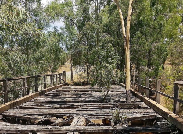
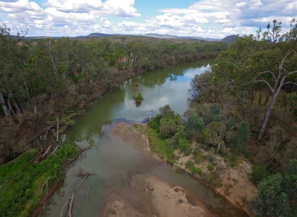
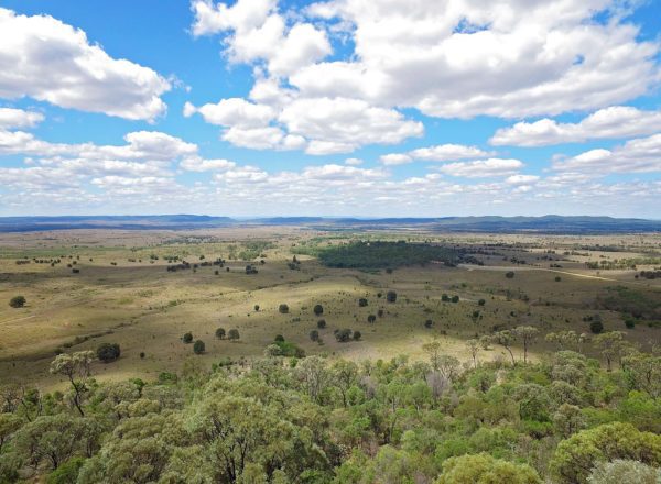
- Continue a further 13 km to Kroombit Dam on your left. About 300 m after you pass through Kroombit Creek, you’ll see a turn off on the left that leads to Kroombit Dam Lookout. It is definitely worth the short drive.
- Back on Valentine Plains Road continue along for another 2.7 km, pass over another grid and veer right onto Alcocks Road.
- Follow Alcocks Road for 1.7 km and you’ll pass over another grid. Veer right onto Kroombit Station Road and follow to Lochenbar Station.
- Only 4WD vehicles should continue on past this point.
- If you do not drive a 4WD, return along the route you entered on.
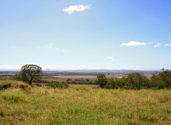
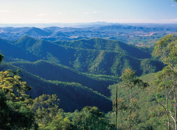
- Follow the track further on to the Kroombit Tops Lookout where you’ll be rewarded with spectacular views.
Whilst you’re in the park, take the time to seek out the Beautiful Betsy crash site; a WW2 B-24D Liberator Bomber that came to an untimely end in 1945, but not discovered until 1994.
Kroombit Tops to Biloela
170km (120 mins)
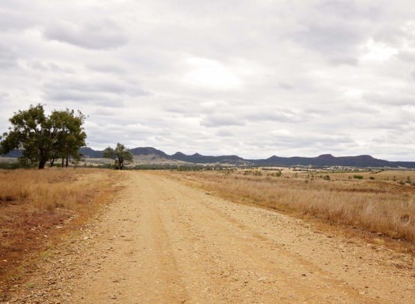
- Continue through Kroombit National Park and meet up with Tableland Road (follow the sign to Biloela).
- Follow Tableland Road and enjoy the creeks and scenery towards Gladstone-Monto Road.
- At Gladstone Monto Road, turn left.
- Follow the signs towards the Dawson Highway
- At the Dawson Highway, turn left and head back to Biloela