![]() 75 km loop
75 km loop
approx. 1hr.
Download self drive itinerary with map
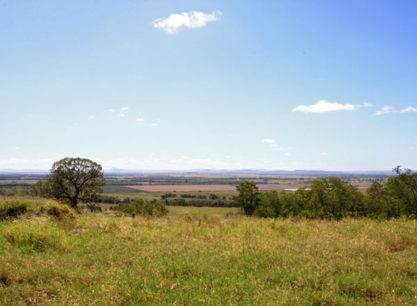
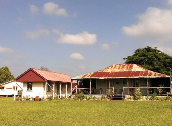
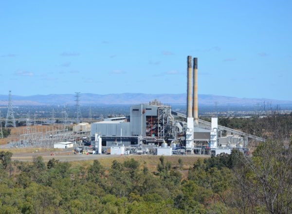
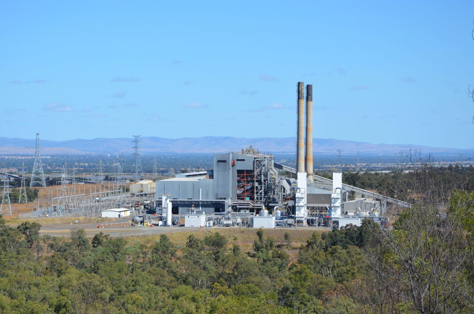
Much like the Dawson Valley, Banana Shire’s Callide Valley provides rich coal resources and vital power supplies to Queensland. The Callide Coalfields and Power Station sit side by side – their infrastructure an imposing sight against the scenic backdrop of Rainbow Range and in the foreground, the sparkling waters of Lake Callide.
Start from Biloela
- Travel 34 km north-east towards Gladstone along the Dawson Highway.
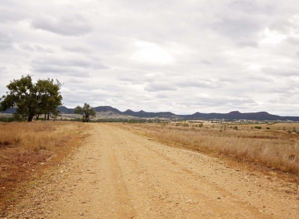
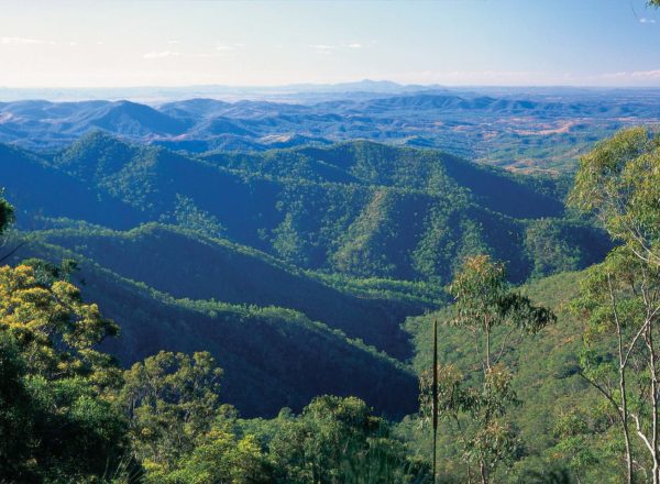
- Turn right onto Coal Road. Along the road, you will find spectacular panoramic views of Rainbow Range through to Kroombit Tops National Park and in the foreground, Callide Power Station.
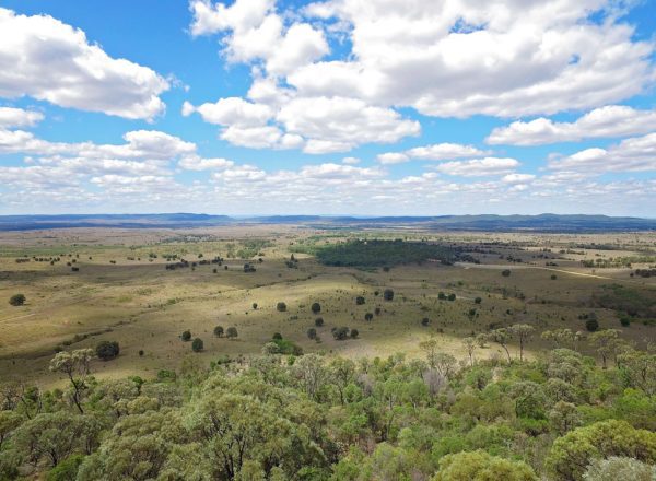
- Travel 24 km along Coal Road, turn right onto Ian McCauley Road (not suitable for caravans) and follow the road to the top of the hill for great views of the Callide Dam and surrounds.
- Do a u-turn and head back to Coal Road, turn right and cross the grid onto Biloela-Callide Road. The Power Station viewing area is located 2.3 km further along at the entrance to Callide B (on your right).
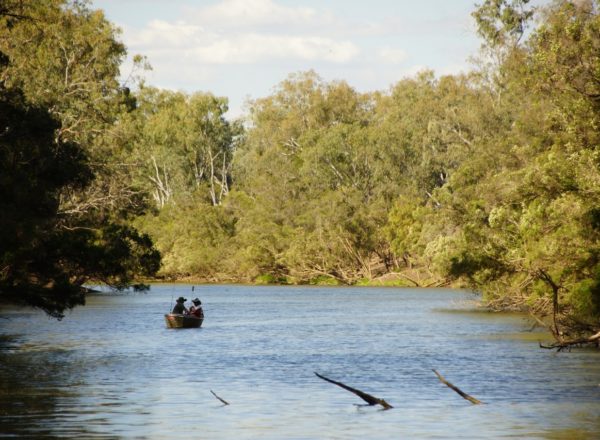
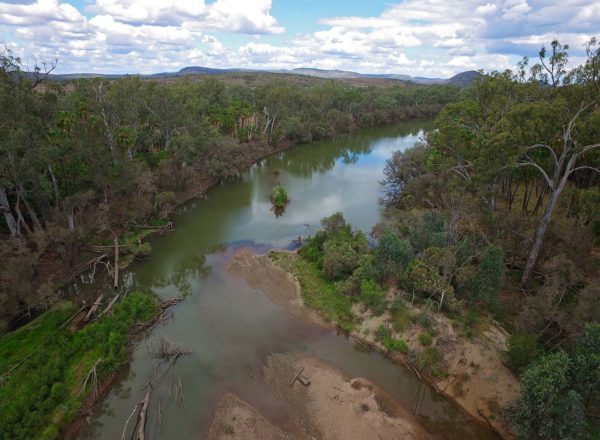
- The Lake Callide Recreation Area turnoff is 2 km further on your left across Callide Creek and left again onto Calvale Road. Continue along Calvale Road 1.3 km to the Recreation Area. The lake is famous for its big barramundi, redclaw and freshwater cray. However, before you drop a line, you’ll first need a Stocked Impoundment Permit from the Queensland Government
- To return to Biloela, head back to the Biloela-Callide Road, turn left and drive 7.5 km to the Dawson Highway, turn left and head directly to Biloela.