![]() 58 km
58 km
approx. 1hr.
Download self drive itinerary with map
Queensland Heritage Park
2 km
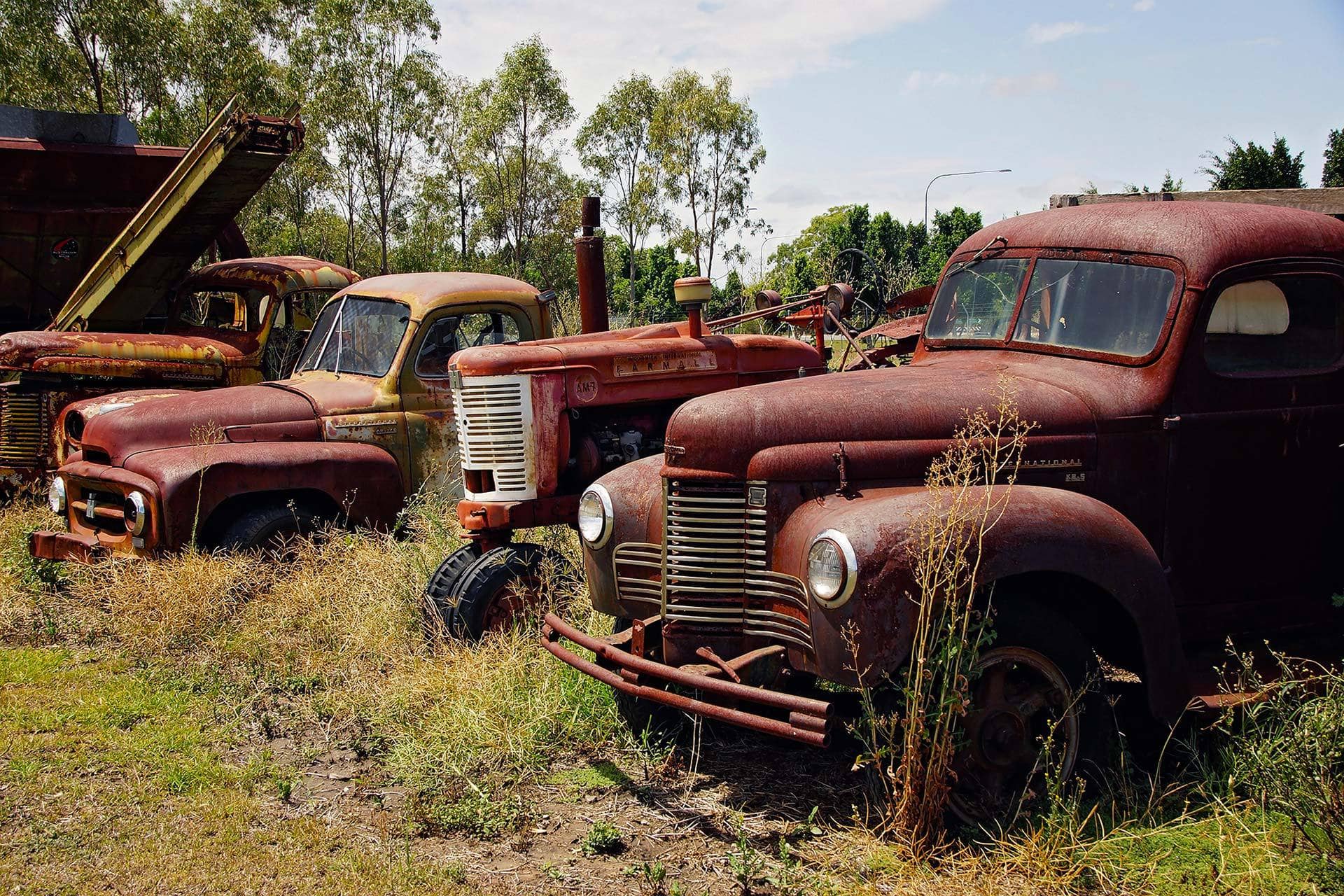
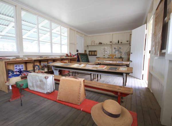
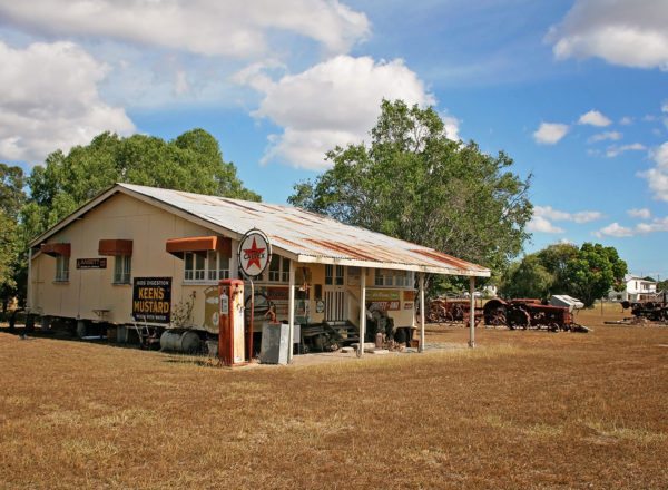
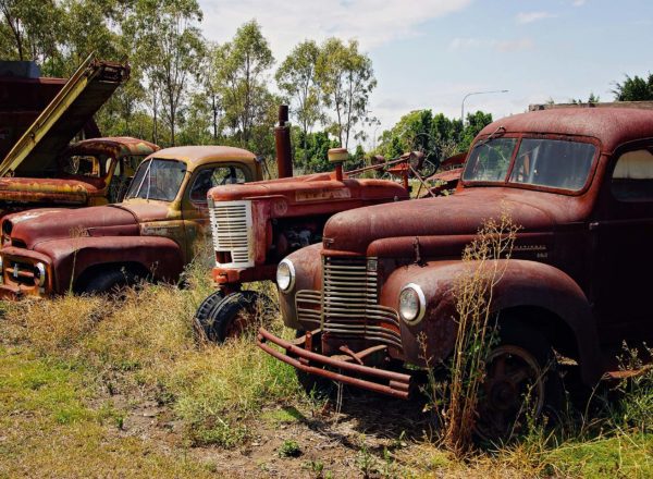
Queensland Heritage Park is the home of local history. You can easily spend a couple of hours wandering through fascinating historic displays and heritage buildings. Scattered around the grounds is a collection of vintage machinery that will both amaze and amuse you. When you’re done, take time to absorb all you’ve seen and learned over a hot cuppa at the Post and Rail Café. You will also find a fantastic array of visitor information on the sights to see across the area.
Start from the Woolworths car park, Kariboe Street
- Drive 100 m along Kariboe Street and turn left at the traffic lights onto Dawson Highway.
- Travel 1.3 km then turn right into Exhibition Avenue and follow for 200 m.
- Turn left into the Queensland Heritage Park.
Spirit of the Land mural
4.4 km
The stories of two women and their cultural histories, from prehistory to recent times, are intertwined and retold through the Spirit of the Land mural. Wrapped around a water reservoir, the 100 m piece captures and puts into context the evolution of nature, culture and humanity.
- From Queensland Heritage Park, turn right onto Exhibition Avenue.
- At the end of the road, turn left onto the Dawson Highway.
- Follow for 1.3 km. If you have kids on board, turn left onto Grevillea St. Melton Park is 200 m along on your right. A great diversion, the play equipment and maze will keep little tykes entertained for hours.
- Back on the Highway travel another 700 m and turn left onto State Farm Road.
- Drive for 300 m and you’ll find the ‘Spirit of the Land Mural’ on your left.
Greycliffe Homestead
500 m
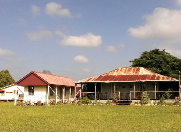
Built in the 1860’s from materials found on Greycliffe Station, generations of the Nott family lived in the homestead for 100 years. A truly remarkable example of typical pioneer family life, the homestead and its out buildings have seen little change since those early days.
- Head back to the highway and cross the intersection, onto Lawrence St. Greycliffe Homestead is on the corner of Dawson Highway and Lawrence St. The property is now used as headquarters for the local historical society and is open to the public by appointment. Contact the Visitor Information Centre for assistance P: (07) 4992 2405 or (07) 4992 2400.
- From the Dawson Highway, as you head out of town towards the Callide Dam scenic lookout, you’ll find Lions Park on the left. A feature of the town, the park has everything for people who love to picnic and play.
Callide Dam and Callide Mine Scenic Lookout
17 km (20 mins) *A section of this road to the lookout is unsealed and not suitable for caravans.
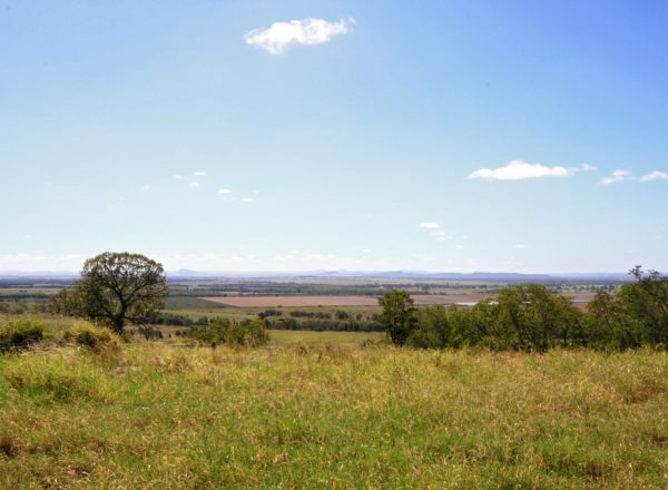
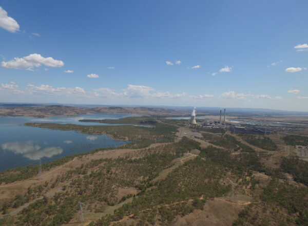
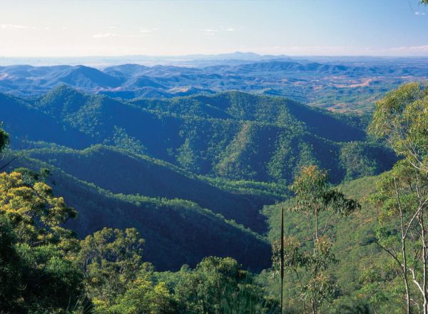
A number of fantastic vantage points along Ian Macauley Way to the Callide Dam and Callide Mine lookouts exemplify the region’s industries and resources, including the all-important harvested water that supplies agriculture and mining, that together drive the region’s wealth and growth.
- Follow the Dawson Highway from Biloela to Biloela Callide Road and turn right.
- Turn left onto Ian Macauley Way (approx. 12 km), immediately after crossing the grid.
- About half way up the hill you’ll find the first lookout on the right, with views over the dam and parts of the power station. A little further up on the left is a great little picnic spot with toilets and further views of both the Dam and Callide Power Station.
*Note the re-vegetation progress taking hold across the older coal dig sites.
Old Rainbow Hotel Historical Site
14 km
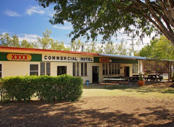
The Rainbow Hotel was the largest of three hotels built on the main thoroughfare between Gladstone and Kroombit Station. Built in the early 1850’s, the hotel closed in 1902. A sad story, O’Reilly, the owner, had fenced off a small area close to the pub intended for the family plot. However, after his unexpected death, O’Reilly was buried in Gladstone; his wife and son later laid to rest in the twin graves on the site.
- Come back down Ian Macauley Way from the lookout and turn left onto the Biloela Callide Road, which now becomes Coal Road.
- Turn left onto Coal Road and travel 14 km. Just passed Zangaris Road (on the right) you’ll see two boulders mounted one on top of the other, marking the Old Rainbow Hotel site. A plaque explains the history of the hotel and surrounds.
*Note – this is Private Property and for those wanting to explore further, a courtesy visit to the property owner is warranted
Callide Dam
20 km
- Do a u-turn and head back along Coal Road towards Biloela for 18 km.
- Turn left at the Callide Dam sign.
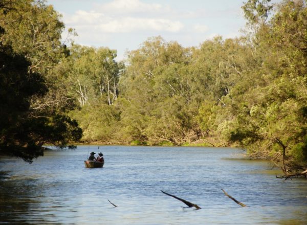
- Cross Callide Creek and turn left onto Lake Callide Drive. About 1.5 km along you’ll come to the picnic and recreation grounds where you can enjoy a barbecue lunch at one of the sheltered barbecue areas, lapping up the water views.

